
Numerous hiking trails lead to the Gindelalm and the Gindelalmschneid. The most beautiful and quietest route doesn’t start in Tegernsee or Schliersee, but in Hausham via Huberspitz. Whichever route you choose, you can expect beautiful views of the Bavarian lowlands. On clear days you can see all the way to Munich. You’ll need less than an hour to get to any of the starting points for this easy hike close Munich.
Trail Details
Easy
7 km
2 hours
595 m elevation
Stroller-friendly (alternative route only, starting from Parkplatz Gindelalm)
Directions and Parking
By Train
Take the Bavarian Regiobahn (BRB) departing hourly from Munich in the direction of Bayerischzell to Hausham station. From the train station, head down Dr.-Franz-Langecker-Straße and turn left along Kreuzweg. At Naturfreundstraße, turn right towards the restaurant Alpengasthof ‘Glück Auf’. This is the starting point for the route avoiding the paved mountain bike path.
By Car
For those arriving by car, you can find plenty of parking spaces at the Alpengasthof Glück Auf in Hausham (link to Google Maps).
Description
Alpengasthof Glück Auf – Gindelalm: 1.5 hours
If youre on two feet rather than two wheels, avoid the asphalt Huberspitzweg (starting point at the official Gindelalm car park on Alpenstraße) and instead choose the more scenic, serpentine path from Alpengasthof Glück Auf via the Huberspitz to the Gindelalm.
Behind the inn, cross the bridge and turn left at the first crossroads onto the shady serpentine path up to the Almbad Huberspitz. Here, the path meets the ascent from the hiker’s (bikers) car park on Alpenstraße and continues up to the Gindealmstraße.
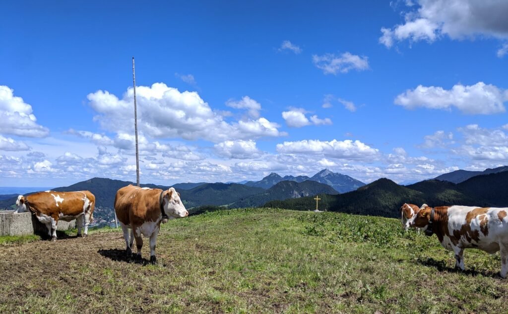
After a few meters of altitude you’ll reach a shelter – take the right fork here. The hike continues in a south-westerly direction along a forest path through the trees. Keep your eyes peeled to avoid missing the the wooded Auer Berg (1252 m), before you head down to the Gindelalm with its three serviced huts.

Gindelalm – Gindelalmschneid: 15 mins
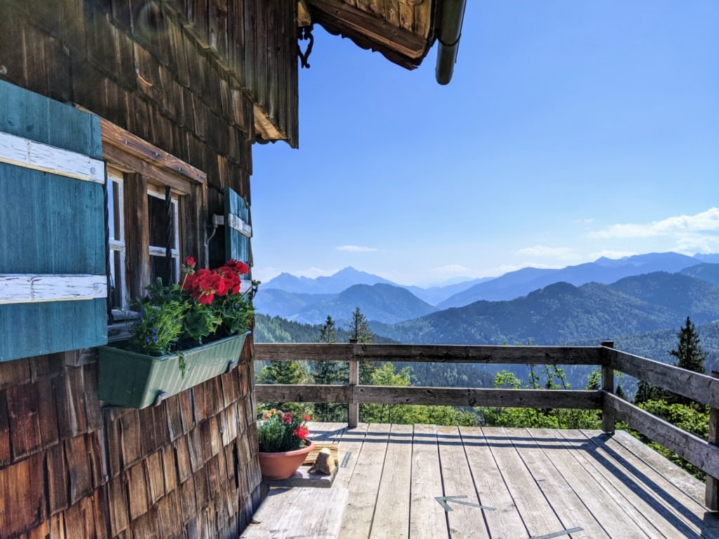
Arriving at the Gindelalm you can make a quick detour to the Gindelalmschneid (15 minutes). Alternatively, you can stop off at one of the three huts here at the alm: Gindelalm 1, Gindelalm 2 and Gindelalm 3.

Descent 1: Gindelalmschneid – Kreuzbergalm – Hennerer Hof – Car park Glück Auf / Schliersee Station: 1:45 – 2:15 hrs
The descent via the Kreuzbergalm and along the Prinzenweg down to the Hennerer Hof is a fantastic circular trail. Cross the Gindealmschneid summit, turn back and follow the signs for the Prinzenweg. Don’t miss the wonderful view across to the Wendestein from here. Caution: the section between the Gindelalmschneid and Kreuzbergalm can be extremely slippy in wet conditions.
Descent 2: Gindelalmschneid – Neureuth – Tegernsee Station: 1 hr 40 mins
Alternatively, you descend from the Gindelalmschneid in a westerly direction via the Neureuth (open all year round except on Mondays). With almost zero incline, the path takes you through a stretch of forest and continues with a view of Lake Tegernsee in around 40 minutes to the popular hut (Berggasthof) Neureuth.
From here it takes another 60 minutes to Tegernsee train station. Here, too, there are two options for the further descent, both of which take about the same time. We prefer the Höhenweg (signposted) with a view over Lake Tegernsee.

Descent 3: Gindelalmschneid – Gindelalm – Car park Alpenstraße: 1 hour
The fastest way doen from the gindelalm is via the paved Gindelalmstraße down to the Gindelalm car park on Alpenstraße. With this option you should be prepared to share the trail with several mountain bikers along this route.
Summary
Crossing from Schliersee via Gindelalmschneid to Tegernsee is a true classic among the easy hikes in the region. For the best view of the Mangfall Mountains, we recommend starting at Tegernsee, heading east via Neureuth, on to the Gindelalm and finally down to Lake Schliersee, i.e. in the opposite direction to the route described above. In November and December the paths are not cleared. If you are planning a winter hike, you should pack a snack as well as your snow shoes – the three serviced huts on the Gindelalm are closed in the winter months.


