Looking for something out of the ordinary? Farm stays are a fantastic alternative to traditional hotels – especially for families. These rustic retreats offer an escape from city life, a chance...


Freizeit und Urlaub am Schliersee
✅ Alle Touren enthalten zentrale Wanderdaten wie Länge, Gehzeit, Höhenmeter, Schwierigkeitsgrad, Startpunkt und Anreise.
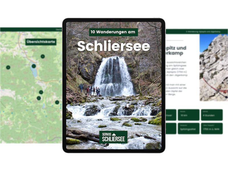
✅ Das 2025 erschienene E-Book umfasst 85 Seiten und enthält 89 Fotos.
Die Region rund um den Schliersee ist reich an kulturellen Veranstaltungen, Märkten, Sportveranstaltungen, Live-Musik, Ausstellungen, Volksfesten und Seefesten.
Ein Wochenende in den Bergen, danach sehnen sich gerade viele. Alle die am Schliersee Urlaub planen, finden zahlreiche Hotels und Übernachtungsmöglichkeiten, die mit Charme und Bergblick auftrumpfen.
Looking for something out of the ordinary? Farm stays are a fantastic alternative to traditional hotels – especially for families. These rustic retreats offer an escape from city life, a chance...

From cheap accommodation on the outskirts of the Miesbach district, to stately guest houses on the shores of the lake, visitors to Schliersee can choose from a wide selection of modern and...
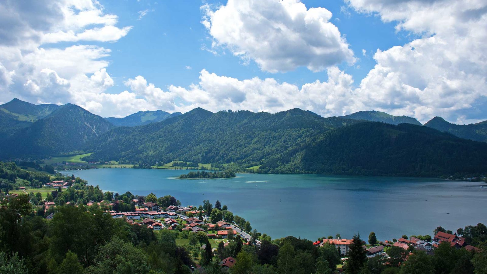
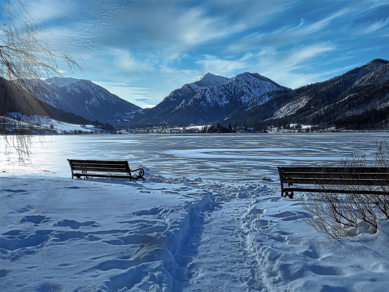
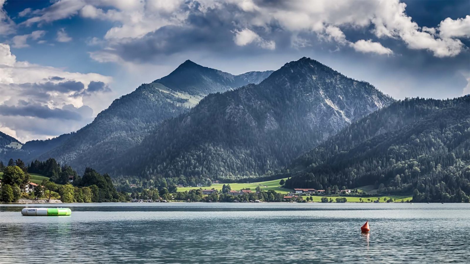
Der Schliersee ist einer der beliebtesten Ausflugsseen in Bayern. Er liegt rund 50 km südlich von München und 10 km östlich des viermal so großen Tegernsees. Beide Seen sind Eigentum des Freistaates Bayern und befinden sich im Mangfallgebirge, einem Teil der Bayerischen Voralpen. Der Schliersee liegt auf 777 Höhenmetern, ist 2,5 Kilometer lang und verdankt seine Entstehung der letzten Eiszeit vor über 10.000 Jahren. Charakteristisch für den Schliersee sind die umliegenden Schlierseer Berge und die Seeinsel Wörth.
Der See und die gleichnamige Ortschaft am Nordufer sind längst kein Geheimtipp mehr, aber weniger stark frequentiert als andere Regionen im Voralpengebiet. Die lange gewachsene Koexistenz von Tradition und Tourismus schätzen alle, die am Schliersee machen: Wandern, Radfahren, Baden, Klettern, Rodeln, Langlauf, Skifahren, urige Wirtshäuser und bayerische Kultur - rund um die 1200 Jahre alte Ortsgemeinde am südlichen Ende der Metropolregion München ist Besuchern viel geboten.
Lake Schliersee has been accessible by train since 1869. Today, the train remains the best way to get to Schliersee – due to both the high volume of traffic and the difficulty of finding parking. Leaving from Munich Main Station (Hauptbahnhof), the Bavarian Regiobahn (BRB) will get you to one of the two train stations at Schliersee in just under an hour. Schliersee train station is located on the north shore and is only a few minutes’ walk from the lake. Alternatively, you can get off at Fischhausen-Neuhaus station on the south shore of the lake. From here, the train line continues on through the beautiful Bavarian Oberland towards Bayrischzell. Check for the carriage towards Bayrischzell when boarding the train in Munich: the train is divided at Holzkirchen station with other carriages heading to Tegernsee and Lenggries.
For those travelling by car: Schliersee is about 50 kilometers south of Munich. Take the A8 motorway towards Salzburg, leaving at the exit for “Weyarn” and contining through the historic town of Miesbach to Schliersee. The roads are partucularly busy at the weekends, we recommend taking public transport to get to Schliersee.
Schliersee is located around 50 kilometers south of Munich and is easily accessible both by car and public transport. Looking for fantastic hiking, walking, cycling, cross-country skiing, skiing or swimming close to the Bavarian capital? Then Schliersee is the place for you. The lake is the second largest after Tegernsee in the district of Miesbach. Schliersee is one of the most popular destinations south of Munich and has a long tradition in tourism.
Take a leisurely walk along the Seeweg around the Schliersee, a 7 km long circular path around the shore of the lake, stopping at charming cafes and breathing in the picturesque mountain views. The 12 meter high and easily accessible Josefsthaler Waterfalls south of Schliersee are stunning to visit both in summer and winter. Check out some local history at the open-air museum of the double Olympic champion Markus Wasmeier. Head up to the Schliersberg Alm, which can be reached by easy hike or cable car, for some of the best views of the lake. At Spitzingsee just south of the Schliersee you’ll find numerous more challenging hikes with stunning mountain views.
The Schliersbergalm, located at 1061 meters and reachable by cable car or via easy hike, offers a stunning, unobstructed view of the lake. The nearby Stögeralm also has a magnificent view (accessible by car or easy hike, the restaurant is however currently closed). For a much quieter experience, head up to the Hohenwaldeck castle ruins for the most impressive, unobstructed panoramic view of Lake Schliersee and the surrounding mountains.
The settlement history of the village is closely linked to the former Schliersee monastery. The founding of the monastery dates back to the year 779 and also marks the founding of the village of Schliersee. Originally founded as “Zelle am Slyrse” by five noble brothers, the current name of the village and the lake of the same name “Schliersee” developed from this over time. The monastery fell victim to the Hungarian raids and was rebuilt on the site of today’s parish church of St. Sixtus in Schliersee.
| History: | First mentioned 779 AD |
| Inhabitants: | circa 7000 |
| Publis Transport: | 1 hr from Munich Main Station |
| Peaks: | 38 (Mangfall mountain range) |