

The easy, circular hike around Spitzingsee is, in our opinion, the perfect destination for a walk in the mountains near Munich with the whole family. It takes less than an hour to circumnavigate Spitzingsee – without any significant difference in altitude. The location of this mountain lake at an altitude of 1084 m guarantees stunning views of the famous peaks of the Mangfall mountains. With a playground and plenty of benches along the route, it’s perfect for young and old.
Details
Easy3 km
45 minutes
50 m altitude
Stroller-friendly
Directions & Parking
Public Transport: Take the BRB from Munich to Schliersee and change to the RVO bus 9562 towards Spitzingsee. The bus is timed to leave after the arrival of the train in Fischhausen and normally waits for passengers should the train be delayed.
By Car: The Taubensteinbahn car park along the eastern shore of Spitzingsee has ample parking ( location Google Maps). You can start from any of the car parks at Spitzingsee.
Spitzingsee Trail Description
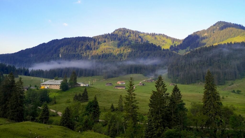
We recommended starting your hike around Spitzingsee at the Taubensteinbahn car park. The circular route around the lake takes you along the eastern banks, past the Spitzingalm, in a southerly direction. Here you’ll find an adventure playground right on the shore with stunning views across to the Roßkopf mountain. Here at over 1000 m altitude you’ll enjoy views of the Jägerkamp, Aiplspitz, Taubenstein and Rotwand mountains with tours starting at Spitzingsee.

The path now leads through the village of Spitzingsee, past the Alte Wurzhütte and the turn-off to the Albert-Link-Hütte. You’ll need around 20 minutes to add on a detour to the fully-serviced Albert-Link hut, which we highly recommend. Not only is it a beautiful short walk into the Valepp, the food on arrival is fantastic. You can also find one of the best playgrounds around Schliersee here at the Albert-Link-Hütte.
Back at the lake, the cicular trail continues along the western shore in a northerly direction. Some of the most stunning, intermediate hiking tours in the Schliersee/Spitzingsee region start here along the “Seeweg”. The hike to the Obere Firstalm is certainly one of the most popular and also suitable for families. The circular trail continues along the north shore with it’s view of the striking Brecherspitz and back to the starting point at the Taubensteinbahn.

How long does it take to walk round Spitzingsee?
Yu should plan a little under one hour to complete the loop trail around Lake Spitzingsee.
Is it possible to walk the Spitzingsee loop trail in winter?
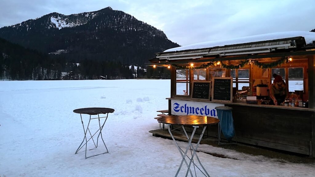
The circular trail around the Spitzingsee is beautiful in all seasons and particularly in snow. The path on the east shore is usually well cleared. The path is also groomed on the west and north banks, but waterproof hiking shoes are recommended.

Summary
You’ll need neither serious hiking shoes nor provisions for the hike around the Spitzingsee. There are several places to stop for refreshments right on the shore path and despite the altitude of over 1000 meters, the path is very flat, making it easily manageable for those unfirm on their feet or with a buggy/stroller.
The Spitzingsee Loop Trail is one of 10 recommended routes for hikers of all abilities in this years Digital Hiking Guide for Schliersee and Spitzingsee.


